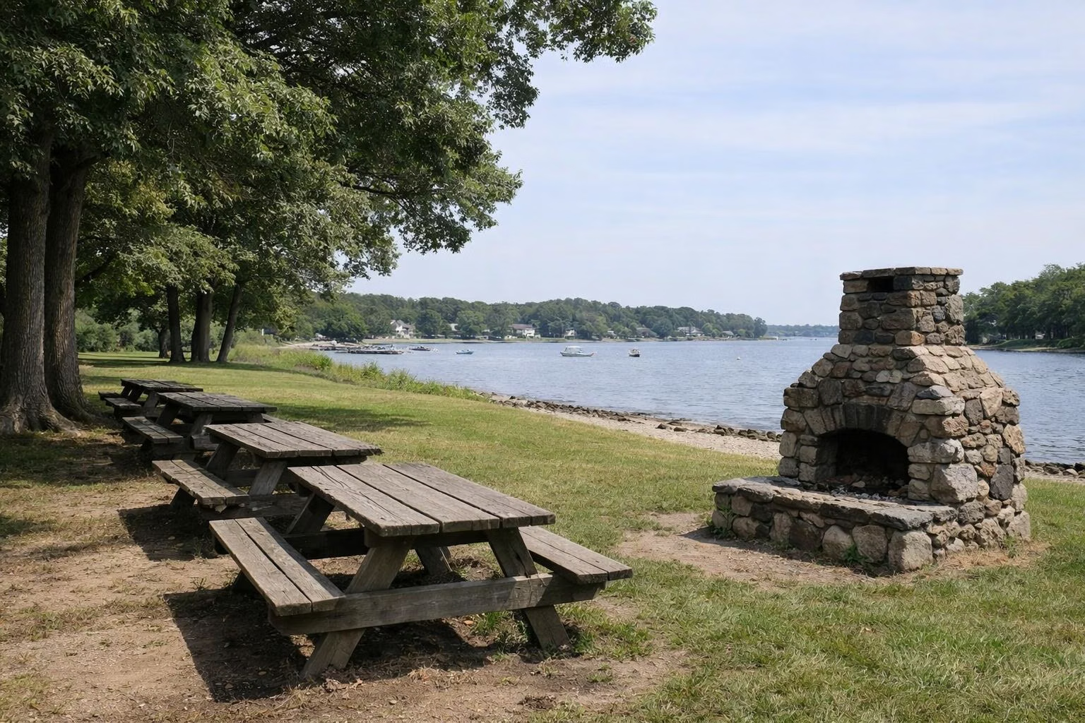
Goddard Park Map
RI DEM's official Goddard Memorial State Park map is a site rental map: it shows the main entrance and permit office on Ives Road, the golf course in the middle of the park, and every rentable picnic field, area, gazebo and shelter around it, lettered A to L and numbered 1 to 10, plus the Oak and Maple picnic groves and two restroom buildings. You can download it from DEM's picnic rentals page.
The Map at a Glance
How to Read the Map
DEM's map (revised January 9, 2025) is drawn for people reserving picnic space. Ives Road runs along the bottom edge, the bay is the shaded water at the top left, and the park road makes a loop around the large green Golf Course in the middle. The map also draws dashed lines between the areas, which DEM does not label. Everything you can rent is labelled along the road. The map does not mark the beach, the boat ramp, the carousel pavilion or the 18 miles of bridle trails, so ask at the permit office if you need those.
The Entrance End: Fields A to E, Areas 1 and 2
The Main Entrance is on Ives Road at the right-hand side of the map, with the Permit Office just inside it. Nearest the office are four fields in a row: Field A, Gazebo B (a field with the park's gazebo), Field C and Field D, with Field E a little further on. Areas 1 and 2 sit side by side on the road beyond them, next to a restroom building. A small Public Convenience Site with two tables and a fireplace is beside that restroom, which is why DEM notes it "offers convenient access to a restroom".
The Far Side of the Golf Course: Areas 3 to 7, Shelters F and G
Past Areas 1 and 2, the road runs along the far side of the golf course from Ives Road. Along it are Area 3, then Areas 4, 5 and 6 close to the shoreline, with the park's second restroom building by Area 6 and Shelter F. Shelter G and Area 7 follow. These areas are the closest rental sites to the water on DEM's map.
The Western End: Fields H to L, Areas 8 to 10, the Groves
The road then reaches a grid of fields and picnic areas at the far end of the park: Fields H, I, J, K and L and Areas 8, 9 and 10. Between them run the two groves that are rented on the day rather than in advance: the Oak Picnic Grove (sites 1 to 10) and the Maple Picnic Grove (sites 11 to 16), each with two tables per site.
What Each Site Holds
DEM's rental list gives the size of each site. A "field" site includes a playing field and a fireplace; an "area" may or may not include a field:
- 6 tables: Fields A and C; Areas 4, 5 and 6; Areas 8, 9 and 10 (8–10 with a field).
- 8 tables with a field: Areas 1, 2 and 7; Fields H, I and J.
- 10 tables with a field: Fields D, E, K and L.
- Gazebo B: a gazebo, a field and a fireplace.
- Shelters F and G: a covered shelter and a fireplace each.
- Picnic Shelter: 10 tables under one roof, no fireplace.
- Area 3: 4 tables and a fireplace. Public Convenience Site: 2 tables and a fireplace.
Prices for each are on the picnic areas page.
What Is Not on the Map
- The beach. DEM lists a lifeguarded saltwater beach with restrooms; see the beach guide.
- The boat ramp. DEM lists an accessible boat ramp; see fishing and boating.
- The bridle trails. DEM gives 18 miles of bridle trails, and the rental map does not draw or label them. See trails and horseback riding.
- The carousel. The Carousel Performing Arts Center is rented separately; see the carousel page.
Getting a Copy
DEM links the PDF from its Goddard park page and its picnic rentals page under "View Site Rental Map". It prints on one 11 by 17 inch sheet with the site list and prices beside the map.
Goddard Park Map FAQ
Is there a map of Goddard Memorial State Park?
Yes. RI DEM publishes a Goddard Memorial State Park Site Rental Map (revised January 2025). It shows the Ives Road entrance, permit office, golf course, picnic fields A to L, Areas 1 to 10, the shelters, the Oak and Maple groves and the restrooms.
Where are the restrooms at Goddard Park?
DEM's map shows two restroom buildings on the park road: one by picnic Areas 1 and 2 near the entrance end, and one by Area 6 and Shelter F. DEM also lists restroom facilities at the beach.
Does the Goddard Park map show the bridle trails?
No. DEM's map is a picnic site rental map. It does not label the 18 miles of bridle trails, the beach or the boat ramp.
Which picnic sites at Goddard are closest to the water?
On DEM's map, Areas 4, 5 and 6 and Shelter F sit closest to the shore, on the far side of the golf course from Ives Road.